


RNLI Map Illustrations
ILLUSTRATION
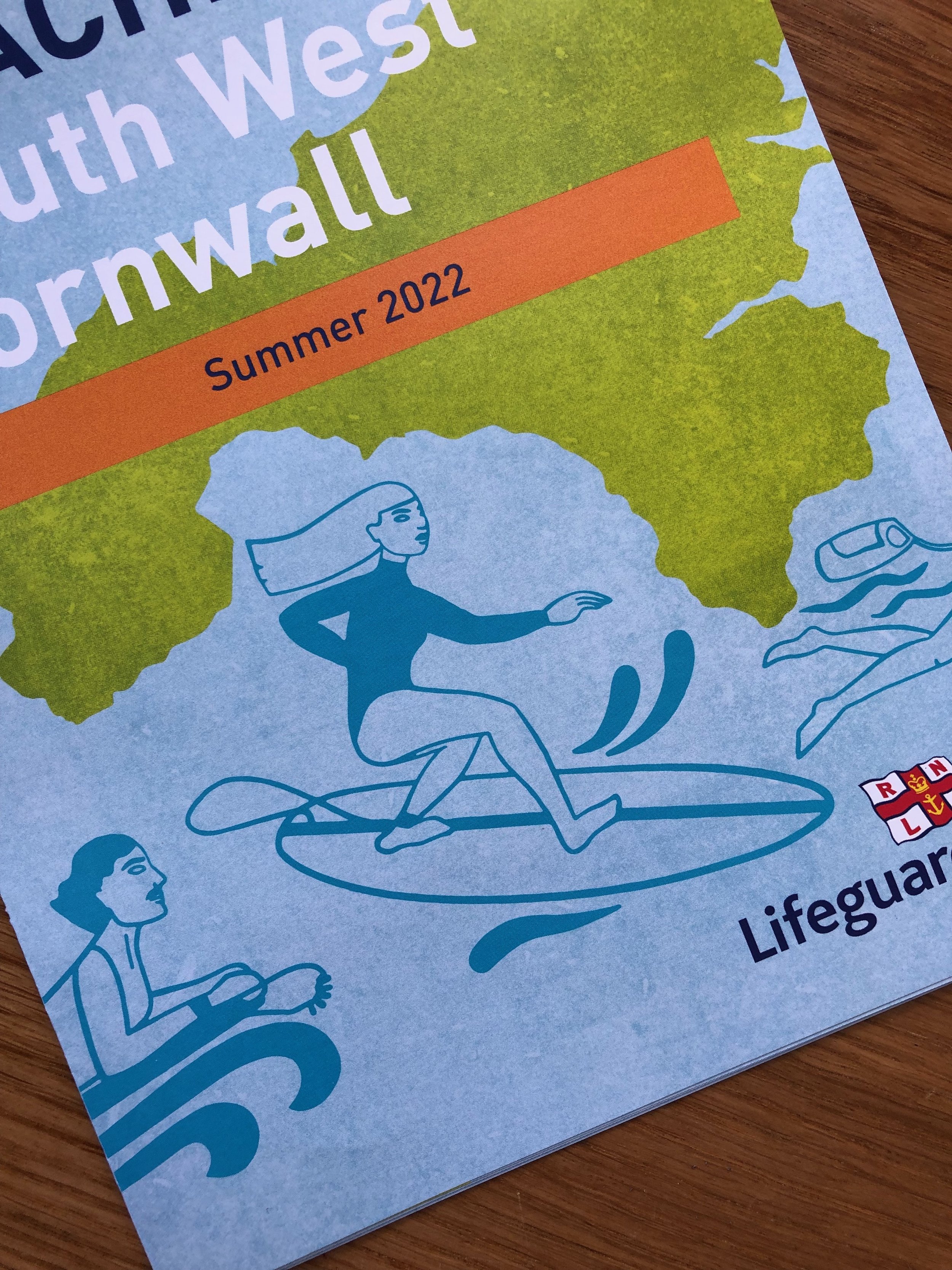
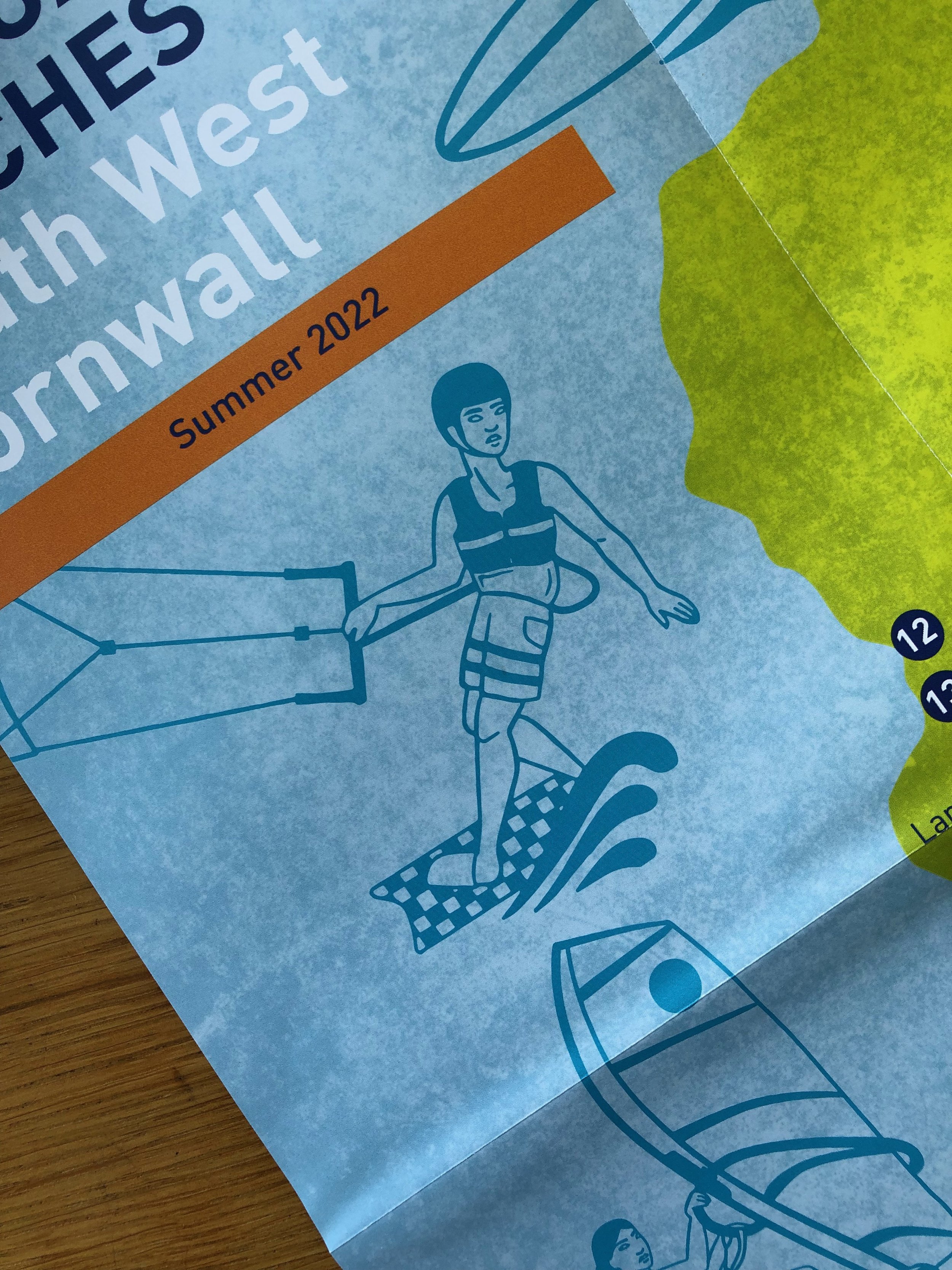
“The Lifeguarded beaches map is a new tool, developed by the RNLI, to help deliver important water safety messaging to beach users in South West Cornwall throughout the busy summer months. We wanted the design of the map to have broad appeal but we also wanted it to desirable and cool for children. Clara's illustrations were perfect to help achieve this. From briefing through to providing the final artwork Clara was a pleasure to work with and her own love of the sea was reflected in the final illustrations. We have had overwhelmingly positive feedback on the map form visitors and locals.”
David Revell, RNLI Water Safety Officer